Introduction
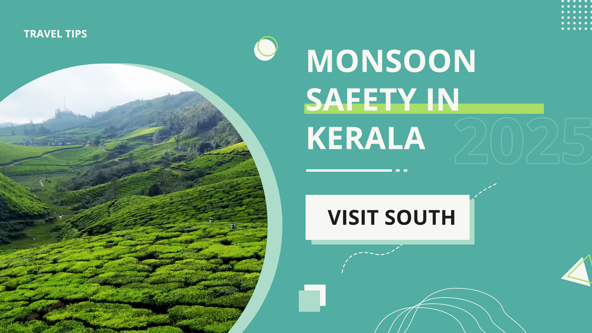
The monsoon of Kerala is magnificent and magnificent. The clouds that give tea hills and waterfalls their colour can cause landslides in ghats, falling of trees in the narrow roads, and unexpected cutting of roads along rivers. Good trips are not about luck, but rather about checking alerts, leaving early and having someone to call when it goes wrong.
It is this guide that makes it practical and India-easy: where to cheque landslide/flood warnings, how to cheque road shutdowns, the helpline numbers that actually pick up, and a clean plan you can follow on wet days in Munnar, Thekkady, Wayanad, Idukki, Nilambur and coastal connecions.
When Monsoon Hits Kerala (and why it matters for travellers)
Kerala has two wet phases:
- Southwest Monsoon (June-September): Prolonged and uniform spells; typical hill/ghat landslide danger.
- Northeast Monsoon (October-December): Brief sharp bursts principally in south/central districts; rivers already at full SWM.
Depending on the type of rain, your plan goes through. During prolonged periods of time, slopes become saturated- small slides rise after 3-4 days of constant rains. When the flooding of cities and low-lying roads occur, it peaks briefly (few hours) and subsides in bursty spells. In any case, the question is about timely and localised alerts.
Quick Planner: Alerts, Closures and Helplines (save this)
| What you need | Where/How to check | How often to check |
|---|---|---|
| District rain & landslide alerts | Kerala State Disaster Management Authority (KSDMA) + District Collector pages (X/Facebook) | Night before + early morning |
| Real‑time weather warnings | IMD “Mausam” district warnings + Nowcast | 3–6 hourly in active spells |
| Road closures/traffic | Kerala Police (state + district), NHAI 1033 for NH, PWD/X handles for SH | Start day + before crossing ghats |
| Rail changes | 139 IVR, NTES live board | Before station run |
| Dam alerts (spills) | District Collector/KSDMA posts | When heavy rain persists |
| Emergency | 112 (all‑India), 1077 (District Control Room), 108 (Ambulance) | Save now |
District‑wise Risk Pockets (hill, ghat and river zones)
| District | Typical monsoon risks (traveller view) | Roads/areas to watch |
|---|---|---|
| Idukki (Munnar side) | Ghat landslides, slope failures, low visibility | Munnar–Udumalpet SH17 (Gap Road), Munnar–Top Station, Adimali–Munnar, Kattappana belts |
| Wayanad | Slides and tree fall on ghats; river rise near Kabini/Panamara | Thamarassery Ghat (NH766), Kuttiady/Periya ghats, Banasura–Padinjarathara lakeside |
| Kottayam/Idukki border | Kottayam/Idukki border | Erattupetta–Vagamon, Pala–Ulipooni–Elappara |
| Pathanamthitta | River flooding (Pamba/Achankovil), hill slides | Sabarimala approach, Konni–Adavi belts |
| Kozhikode | Ghat closures, city waterlogging | NH766 ghat, city low‑lying stretches |
| Thrissur/Palakkad | Low‑lying waterlogging; forest edges | Shoranur–Pattambi, Nelliyampathy ghat (slides) |
| Kannur/Kasargod | Coastal NH66 blocks, interior estate slides | Taliparamba–Coorg links, NH66 tidal flooding pockets |
Road Closures: How to check status and plan detours
- Evening before: Visit KSDMA and the page of your District Collector. In case of posting orange/red + ghat closed, delay or choose non-ghat day schedule (museum, town loop, dam gardens).
- First day (morning): Cheque phone hotel/stay host; locals aware that culvert washed away at daybreak. scan district police/traffic social deal with diversions.
- On the way: When you come across a barricade with the words Road Closed, do not argue or even attempt to take the path of the estate a barricade is telling you to avoid because it will save you time. Wait until you are on the official detour board or re-route to the last major junction.
- N H closures: National highway blocks and anticipated clearance time can be called at NHAI 1033.
- Rail backup: When the roads are unstable, 2-4 hour rail hops between districts are to maintain the trip rolling, and autos/cabs should be used at the other end.
Hint: Do not use new shortcut roads on maps by slopes or between estates in a constant downpour. Mainline SH/NH cleared first.
24‑Hour Travel Playbook (before start, on the road, if stuck)
- Prior to departure (15-30 min): Download offline maps, buy cash [?]1,000-[?]2,000 small notes, fill in fuel tank, pack water and dry snacks, charge power bank.
- Car: Low beam ON, wipers good, AC Fresh Air + defog (mogging). Keep 4-6 seconds gap.
- Two-wheeler: Using a clear visor, a reflective rain jacket, throttle is steady; no painted lines.
- Crossing streams: Do not pass through the running water unless you have visualised another similar vehicle crossing the water successfully. Culvert washouts might be concealed by depth.
- When trapped by a slide; Park in a safe bay, dangers ON only when disabled, reflective triangle 50-100 m behind. Dial 112/1077 in case of need of evacuation assistance; obey police/PWD crew instructions.
- In the event of phone/data death: SMS can potentially remain-text your hotel with status. Ask a shop to make a short call as soon as they need it–people assist in Kerala monsoon.
Food, Money and Practical Tips in Heavy Rain
- ATM: Draw in the town centres by afternoon (Kalpetta, Kumily, Munnar bazaar); remote white label ATMs empty over long weekends.
- Payments: UPI is best used in towns; cash is used to use in the park gate/tea stall; allow UPI Lite to be used in weak-signal transactions.
- Dress: Fast drying clothes, nice sandals/shoes with grip, small towel.
- Car kit: Torch, microfibre cloth, triangle, umbrella/poncho, spare phone cable, insect repellent.
- Health: Wade: Wash/clean feet if necessary, keep a small first-aid kit and regular medications dry in a zip pouch.
FAQs
Is there any official landslide warning posted?
- On the social pages of KSDMA on the internet and on social pages of your district administration. Closure of posts is quickest with local police/traffic.
Are ghats closed for days?
- Typically clearance of the closures takes hours after rain subsides. When there is constant rain, one-way or even longer closures take place alternately. Cheque morning updates constantly.
Is it safe to trek in monsoon?
- Not during orange/red locations. Pathways are oily; snakes clod in the grass; rivers become all of a sudden. Instead, loop pick town or dam gardens.
Will UPI work in the hills during rain?
- In towns, usually yes. At forest/view point gates, keep cash/UPI Lite. Network often dips in mist.
How many people will I call in case my car breaks down?
- Emergency assistance (dial 112), 1077 District Control Room and 108 ambulance. In the case of national highways dial NHAI 1033.
References
- Kerala State Disaster Management Authority (KSDMA): https://sdma.kerala.gov.in/
- IMD District Warnings (Mausam): https://mausam.imd.gov.in/
- Kerala Police: https://keralapolice.gov.in/
- NHAI Helpline (National Highways): 1033
- NTES (Railway live status): https://enquiry.indianrail.gov.in/ntes/